Heavy rain expected across Central Florida
Flood watches cover six counties as sandbag sites open ahead of a multi-day storm system.
By Peter Graham ·
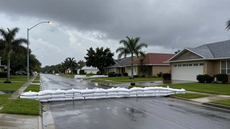
Central Florida, including Orlando and surrounding counties, is under a flood watch beginning Tuesday afternoon. The National Weather Service is tracking a low pressure system moving around the Florida Peninsula. This system will bring several days of rain to the Atlantic Coast. Brevard County has already experienced heavy rains and flooding recently. Forecasters warn that additional precipitation could worsen flooding conditions in that area.
The flood watch remains in effect through Friday. It covers Brevard, Indian River, Orange, Osceola, Seminole, and Volusia counties. Computer models predict between one and six inches of rain for the region. Areas closer to the east coast and the ocean are likely to see the highest totals. There is a 5% chance that localized pockets will receive between eight and twelve inches of rain.
The heaviest rainfall is expected to start Tuesday night. Storm conditions will continue through early Friday. Tuesday will bring increasing showers, with rain chances between 50% and 70%. East winds will blow at 15 to 20 mph, with gusts up to 35 mph. High temperatures will stay in the 70s. From Wednesday through Friday, rain chances rise to 60% to 80%. Periods of torrential rain, isolated lightning, and wind gusts of 30 to 45 mph are possible. Highs will generally remain in the 70s.
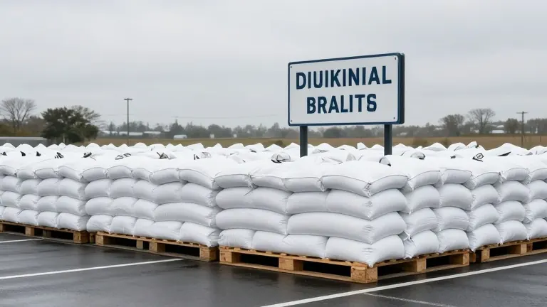
Brevard and Volusia counties have opened sandbag distribution sites in preparation for the rain. Residents are advised to bring their own shovels. Brevard County is operating three sites on Tuesday, November 17, from 7 a.m. to 6 p.m. One site is at Phantom Fireworks on W. King Street in Cocoa. Another is at New Shiloh Christian Center on Sarno Road in Melbourne. The third is at the Eastern Florida State College Palm Bay Campus on Community College Parkway. Titusville also opened a self-service station at 385 N. Singleton Avenue.
Volusia County offers multiple locations with specific limits. Daytona Beach distributes sandbags at Bethune Point Park on Bellevue Avenue. Hours are 12 p.m. to 5 p.m. on Tuesday and 8 a.m. to 5 p.m. on Wednesday. The limit is 10 sandbags per vehicle. Edgewater opened sites at Rotary Park and the Public Works Operations Facility at 7:30 a.m. on Tuesday. Households may take up to 20 sandbags. Port Orange provides free, pre-filled sandbags at 4057 Bruner Road from 10 a.m. to 6 p.m. on Tuesday. The limit is 10 bags per vehicle.
The storm system will move through the region over the next four days. Local officials are monitoring water levels closely. Residents in low-lying areas should prepare for potential standing water. The combination of saturated ground and new rainfall increases the risk of flash floods. The weather service will update forecasts as the system approaches the coast.