
40s expected in Central Florida this weekend
A cold front arriving Thursday night will bring the coldest air of the fall season to the region, while St. Johns River flooding persists.
By Victoria Hayes ·
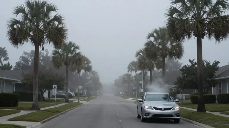
Central Florida residents can expect temperatures in the 40s this weekend, marking the coldest stretch of the autumn season so far. This cooldown follows a powerful cold front sweeping through the area on Thursday night. The drop in temperature will be sharp, with wind chills potentially reaching the upper 30s near and northwest of Interstate 4.
The weather pattern shifted earlier than forecasters initially anticipated. An upper-level disturbance arrived Wednesday, bringing scattered afternoon and evening showers and thunderstorms. Rain chances stood at 30 percent to 40 percent on that day. While most storms were ordinary, a few had the potential to become strong, though confidence in that outcome was limited.
The primary driver of the upcoming cold snap is the front moving through Thursday night. This system brings another chance for showers into early Friday, particularly south of Orlando. Widespread heavy rain is not expected during this transition. By Friday afternoon, drier air arrives, making conditions noticeably cooler and breezy. West-northwest winds are forecast to gust between 15 and 25 miles per hour, keeping highs in the upper 60s to lower 70s.
The coldest temperatures will hit on Saturday. Lows will range from the middle to upper 40s across much of Central Florida, with slightly warmer readings in the lower to middle 50s near the immediate Atlantic coast. A lingering northwest breeze could make it feel like the lower 40s around Orlando. There is a 30 percent to 40 percent chance that wind chills will briefly reach the upper 30s. Highs on Saturday will only reach the lower to middle 60s.
Sunday will offer a modest recovery in temperature, with highs running about five degrees warmer than Saturday. Temperatures begin to moderate early the following week, returning to the lower and middle 70s by Monday. This marks the end of the current cold spell as air temperatures rise again.
Flooding conditions remain a separate concern along the St. Johns River. Runoff from last week's heavy rainfall continues to move north through the basin. Flood warnings are in effect for Cocoa, Geneva, Sanford, DeLand, and Astor. The river west of Cocoa reached major flood stage early Monday morning, and Geneva may approach that level by the weekend. Slow rises are expected at other points, keeping flooding a prolonged issue even as local weather improves.
Marine conditions present additional hazards for boaters and beachgoers. A high risk of dangerous rip currents continues at Central Florida Atlantic beaches. Marine conditions will gradually improve through midweek before strengthening northwest winds behind the front create poor to hazardous boating conditions from Friday into Saturday.