Brevard County Distributes Free Sandbags as St. Johns River Remains High
Residents in Cocoa, Melbourne, and Palm Bay can pick up supplies Tuesday while the St. Johns River stays above major flood stage.
By Daniela Ortega ·
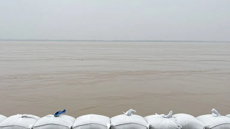
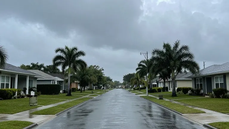
The St. Johns River near Cocoa currently sits at 17.2 feet, a level that defines major flood stage. This standing water has already inundated several roads and private yards in the area. Local officials warn that additional rainfall later this week could push levels even higher.
The river has remained elevated since late last month. At that time, storms dropped more than 20 inches of rain in under 24 hours across regions south of U.S. 192. The precipitation began in the middle of the night, catching many residents off guard. That event caused extensive damage across Brevard County.
Don Walker, the Communications Director for Brevard Emergency Management, noted that the current weather pattern offers a different dynamic. He stated that this rainfall event will spread out over several days rather than hitting all at once. This timeline gives residents a better window to prepare their homes and vehicles.
The county will provide free sandbags to residents on Tuesday. Distribution will run from 7 a.m. to 6 p.m., or until darkness falls. Three main sites will operate during these hours. One location will be in Cocoa, another in Melbourne, and the third in Palm Bay. Residents in Titusville have a separate option. They can fill their own bags at a self-service site located at 385 N. Singleton Ave.
Volusia County officials have also issued advisories to their residents. Because the St. Johns River flows north, heavy rain in Brevard can eventually raise water levels further up the river. The advice specifically targets people living in low-lying coastal areas or near waterways. They are urged to review their household emergency plans and take precautions.
Climatologists link the current wet conditions to the El Niño climate pattern. This pattern is driven by warmer waters in the Pacific. Climate change is also contributing to record-high ocean temperatures. Strong El Niño years typically bring one or two heavy rainfall events per season. A heavy event is defined as more than six inches of rain falling within 24 hours at a single location.