NOAA Retires North American Mesoscale Model After Two Decades
The agency replaced the system with the Rapid Refresh Forecast System to improve hourly data integration.
By Eric Collins ·
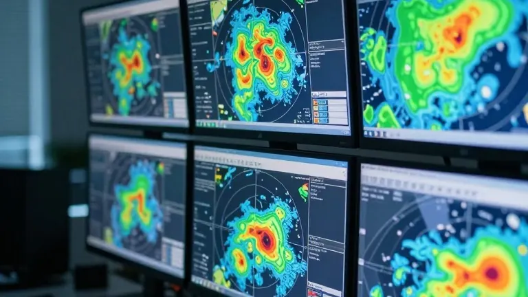
The National Oceanic and Atmospheric Administration has discontinued the North American Mesoscale model, ending a two-decade run for the system that launched in 2005. The NAM produced forecasts up to 84 hours in advance and served as a primary tool for meteorologists tracking localized precipitation events across the continent.
The model gained a reputation for overpredicting weather events, a tendency that caused particular friction during hurricane season. The NAM frequently calculated a cyclone's minimum central pressure as far lower than reality, implying a storm strength that was often two categories higher than actual conditions. Such discrepancies carried major implications for potential damage assessments, leading many forecasters to view the NAM as an outlier compared to other, less alarming forecast systems.
Florida Public Radio Emergency Network meteorologist Audrey Shirley noted the system was a staple of her professional routine. "I've utilized the NAM model ever since the beginning of my career," Shirley said. "Using the NAM became part of my daily forecast routine, even though it over-exaggerated rainfall and cloud cover. So, it's more of a sentimental loss for me."
The agency has replaced the NAM with the Rapid Refresh Forecast System. While the NAM provided updates roughly four times a day, the new system generates outputs every hour. This frequency allows the model to incorporate real-time data from radar, ground observations, and satellites, creating a more detailed picture of evolving weather patterns.
Forecasters maintain that the NAM remained in operation for 20 years because it filled specific gaps where larger models struggled. The system performed well in tracking winter weather setups, particularly along the Appalachian Mountains and the I-95 corridor. However, it faced challenges in Florida, where summer sea-breeze thunderstorms and tropical events proved difficult to model accurately. The transition is part of a broader effort by NOAA's National Centers for Environmental Prediction to modernize short-range forecasting operations.
The retirement of the NAM may reduce the volume of extreme weather posts on social media, as the system's occasional off-the-wall runs often sparked online debates. For weather enthusiasts, the model provided an entertainment factor, sometimes predicting record-breaking storms or massive snow events that never materialized. With the shift to the Rapid Refresh system, the agency aims for a more consistent and data-driven approach to short-range weather analysis.