Orlando region faces flash flood risk as heavy rain moves through
A slow-moving disturbance brings 1 to 3 inches of rain to Central Florida, with a flood watch in effect through 7 p.m.
By Daniela Ortega ·
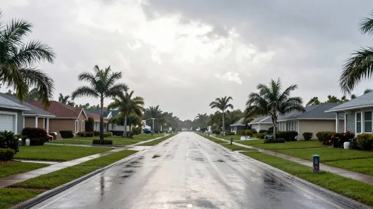
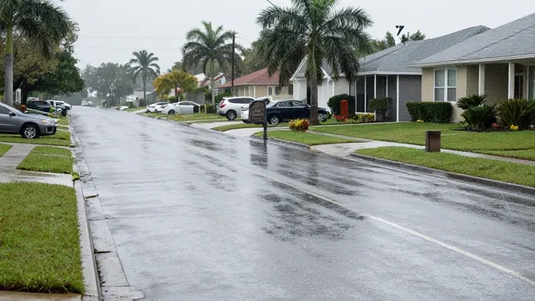
A slow-moving upper-level disturbance combined with deep tropical moisture is driving heavy rain across Central Florida. The weather system affects the Orlando metro area and the Space Coast, bringing rounds of heavy rain and isolated thunderstorms to start the workweek.
Forecasters predict an additional 1 to 3 inches of rainfall through tonight. There is a 5 to 10 percent chance that some locations will receive more than 5 inches of water.
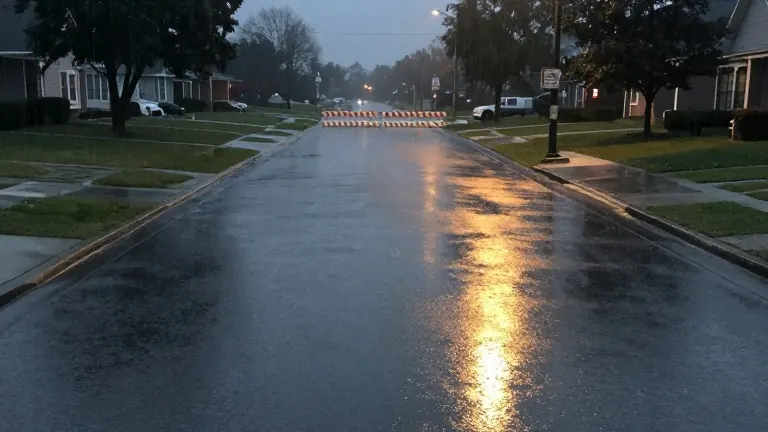
The National Weather Service has issued a flood watch for all of east Central Florida, valid through 7 p.m. Saturated soils increase the risk of localized flash flooding, particularly in areas from Brevard County southward through the Treasure Coast and Okeechobee. Residents are advised to allow extra time for their morning commutes and to avoid driving through flooded roadways.
Rain coverage is expected to decrease later this afternoon and evening, though downpours may continue overnight. Highs will reach near 80 degrees to the lower 80s, accompanied by breezy easterly winds gusting at 20 to 25 mph.
Conditions will gradually improve on Tuesday and Wednesday. Rain chances stand at 40 to 60 percent on Tuesday and 30 to 50 percent on Wednesday, with lighter totals and a lower flooding threat. Temperatures will rebound into the lower to middle 80s as more sunshine returns.
A drying trend arrives Thursday through the weekend, with rain chances dropping to 20 percent or less. A weak cold front may approach Friday into Saturday, but little cooling is expected. Highs will remain in the lower to middle 80s, while overnight temperatures may fall into the 60s for many locations.
Dangerous coastal conditions persist along the Atlantic Coast. A high surf advisory remains in effect through 7 p.m. today, with breaking waves of 5 to 7 feet and numerous life-threatening rip currents. Minor to moderate coastal flooding is possible around high tide, especially south of St. Lucie Inlet, where advisories continue through Tuesday evening.
Source: WOFL · original report published