Brevard and Palm Beach Counties Record 1,000-Year Rainfall Totals
Southern Brevard County received up to 22 inches of rain in 24 hours, while Palm Beach Gardens logged 17 inches in six hours.
By Daniela Ortega ·
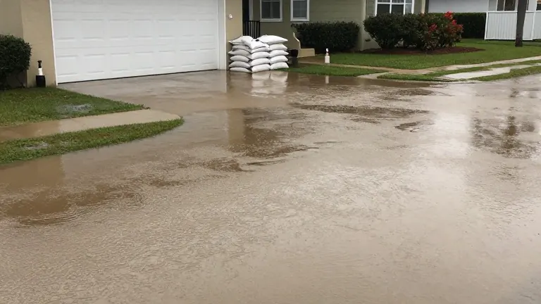
Parts of southern Brevard County received between 16 and 22 inches of rain during a single day. This accumulation exceeded the statistical threshold for a 1-in-1,000-year rainfall event. The downpour occurred just days after November began, marking an early start to the state's dry season.
The heaviest precipitation fell in Palm Bay, Malabar, and Grant-Valkaria. Florida Storms meteorologist Leslie Hudson noted that the volume of water overwhelmed local drainage systems. In Palm Beach Gardens, an estimated 17 inches of rain fell over a six-hour period. That specific six-hour window also surpassed the 1-in-1,000-year benchmark.
The event unfolded on Sunday, November 2, 2026. Meteorologist Jeff Berardelli described the conditions as unprecedented for his career. He reported that multiple cities recorded 12 to 24 inches of rain without the presence of a tropical storm. Berardelli stated that approximately two feet of water accumulated in Palm Bay and Melbourne.
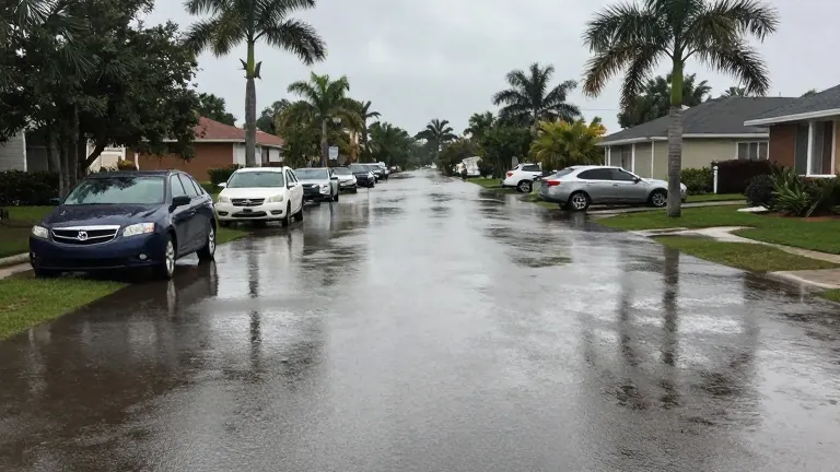
Flooding extended southward into the Treasure Coast region. Port St. Lucie reported stranded vehicles and closed roads. Several local communities declared states of emergency in response to the conditions. The weather pattern was driven by torrential rain bands that persisted for hours.
NOAA indicates the current El Niño pattern may become one of the strongest on record. Historically, strong El Niño winters have resulted in above-average rainfall and increased storm activity across Florida. While a repeat of this week's flooding is not guaranteed, the pattern raises the potential for an unusually active winter weather season across the peninsula.
Residents in affected areas are currently monitoring road conditions and local alerts. The National Weather Service continues to track the remnants of the system as it moves offshore. Local emergency management teams are assessing the damage to infrastructure in the hardest-hit zones.
Source: Central Florida Public Media · original report published